|
The weather today was gorgeous! What more do I need to say?
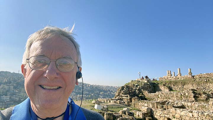
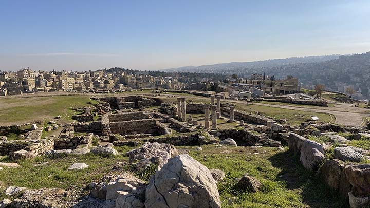
We began the day by driving up to the Citadel, a historical site at the center of downtown Amman, the capital of Jordan.
Remember King Hussein of Jordan? Well, his son Abdullah bin Hussein Al Hashim is king now, and he welcomed us with a smile.
The tourist thought that was nice of him.
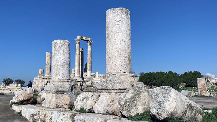
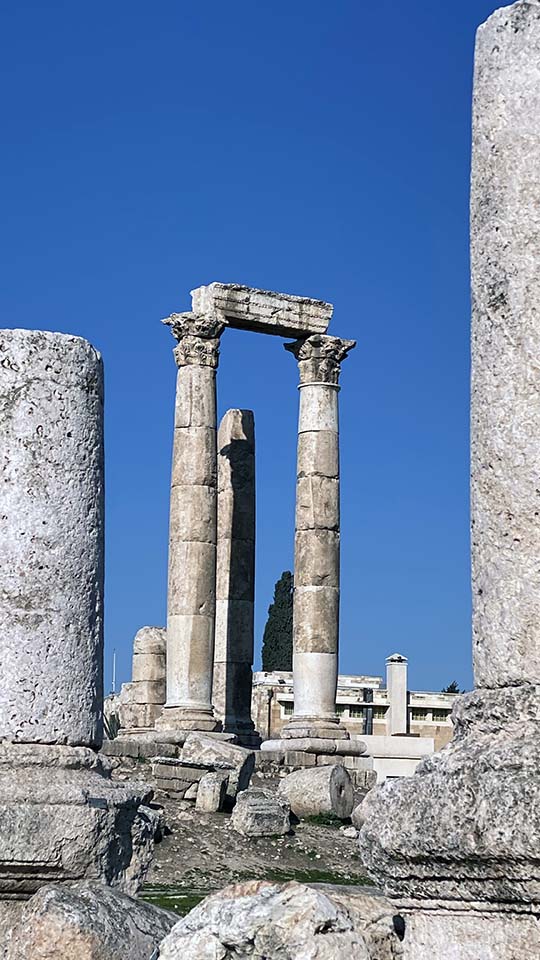
For a Road Scholar, there’s nothing like the smell of ruins in the morning. That is the uncompleted Roman Temple of Hercules.
The Citadel is considered an important site because it has had a long history of occupation by many great civilizations. Most of the buildings still visible at the site are from the Roman, Byzantine, and Umayyad periods. The Citadel of Amman is considered to be among the world's oldest continuously inhabited places.
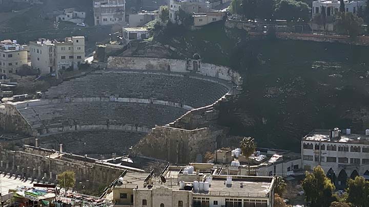
That’s a Roman amphitheater down there.
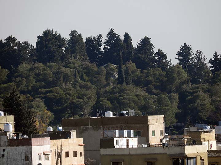
King Abdullah II lives over there in a palace in the trees.
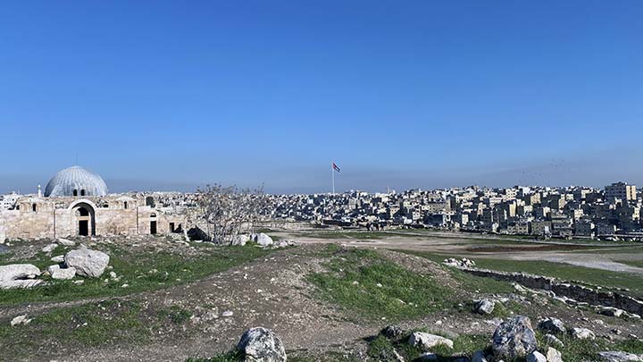
This much older one is called the Umayyad Palace. Built during the first half of the 8th century, it is now largely ruined, with a restored domed entrance chamber, known as the "kiosk" or "monumental gateway".
Ruins amidst the modern city.
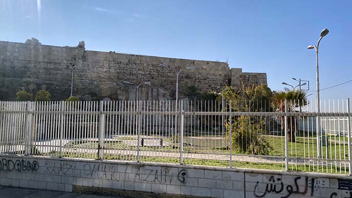
See how high this hill is? Great place for a fortress, though it looks like this one has seen better days.
That’s the flag of Jordan. It is really big.
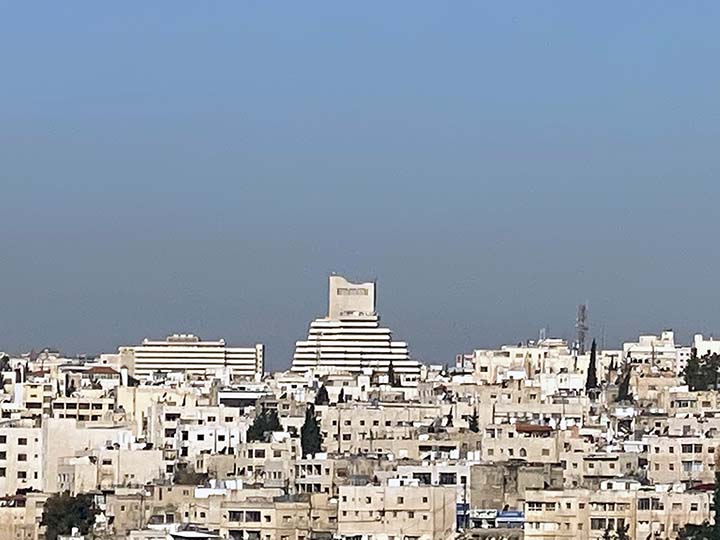
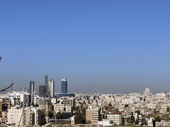
Last night’s hotel is somewhere over there in the high rent district of Amman.
Modern, busy and big.
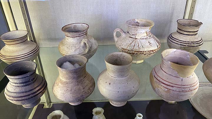
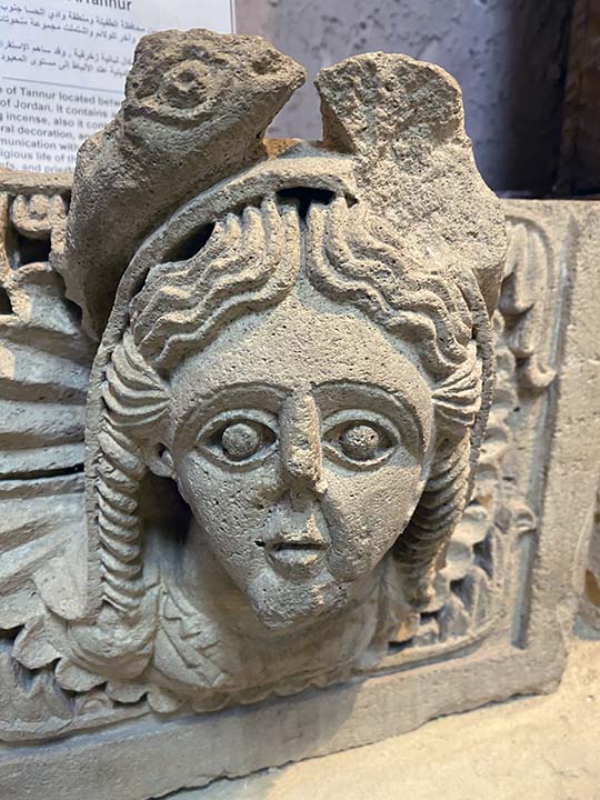
A nice little museum up on Citadel Hill contains many ancient artifacts that have been excavated here.
The artifacts date from prehistoric times to the 15th century.
The museum was established in 1951.The collections are arranged in chronological order and include items of everyday life such as flint, glass, metal and pottery objects, as well as more artistic items such as jewelry and statues. The museum also includes a coin collection. The museum formerly housed some of the Dead Sea Scrolls, including the only copper scroll, which are now on display in the newly established Jordan Museum. Another branch of the museum was established in East Jerusalem which was under Jordanian rule prior to the 1967 war. Once East Jerusalem fell to Israel in 1967, the museum lost all of its collection in the Jerusalem branch including most of the Dead Sea Scrolls.
Lovely pottery.
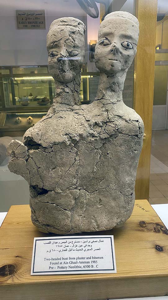
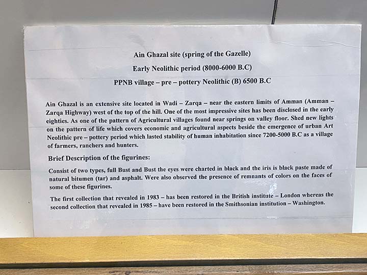
The Ain Ghazal Statues are a number of monumental lime plaster and reed statues discovered at the site of Ayn Ghazal in Jordan. The works date to the Pre-Pottery Neolithic C period. A total of 15 statues and 15 busts were discovered in 1983 and 1985 in two underground caches, created about 200 years apart.
Dating to between the mid-7th millennium BC and the mid-8th millennium BC, the statues are among the earliest large-scale representations of the human form, and are regarded to be among the most remarkable specimens of prehistoric art from the Pre-Pottery Neolithic B or C period. Although it is held that they represented the ancestors of those in the village, their purpose remains uncertain.
You can read about them here.
Time to go now.
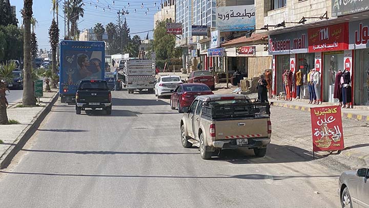
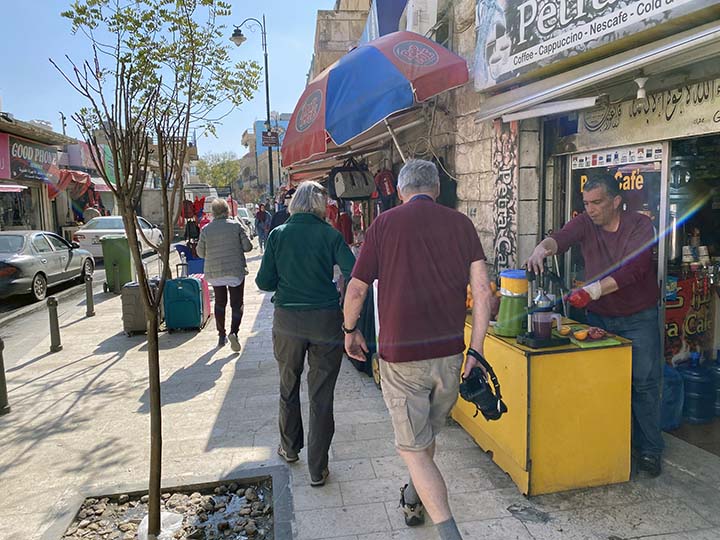
The city streets are crowded with traffic.
Mo tells us all about it. He speaks five languages, he has a degree in film production, another degree in tourism, and maybe some more. He’s quite a guy, and he is an excellent guide.
I learned to hate roundabouts while driving a rental car in England a couple of years ago, but most of the world seems to love them. There is only one roundabout in the entire city of Memphis, Tennessee, and it's about a hundred yards from my house.
Let's go up to Mt. Nebo.
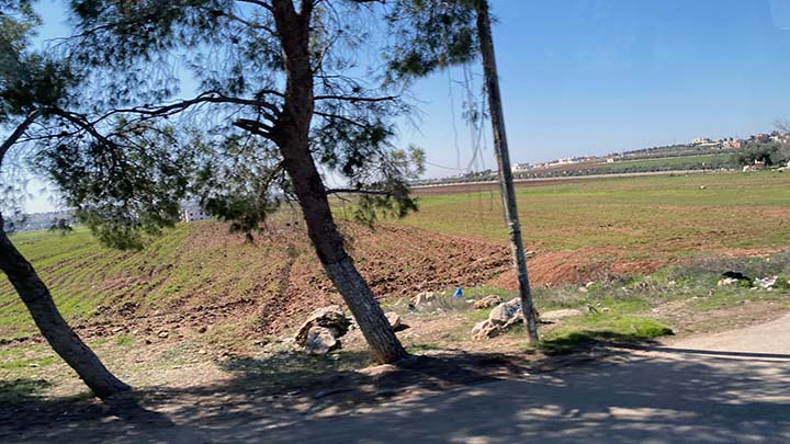
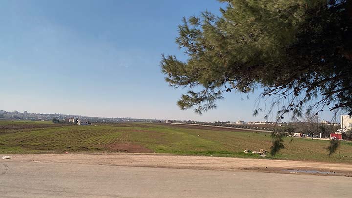
The Bible talks about the Plains of Moab.
Well, there they are. It is rich, fertile land.
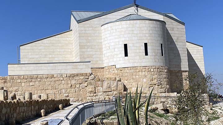
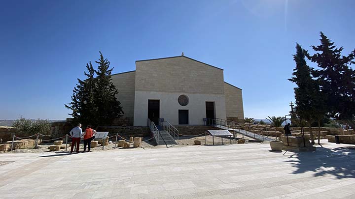
This is a structure atop Mount Nebo, Jordan, that protects the excavated remains of the Basilica of Moses. This modest church, or more accurately basilica, was built around 4th-century foundations in 597 and has just undergone major reconstruction.
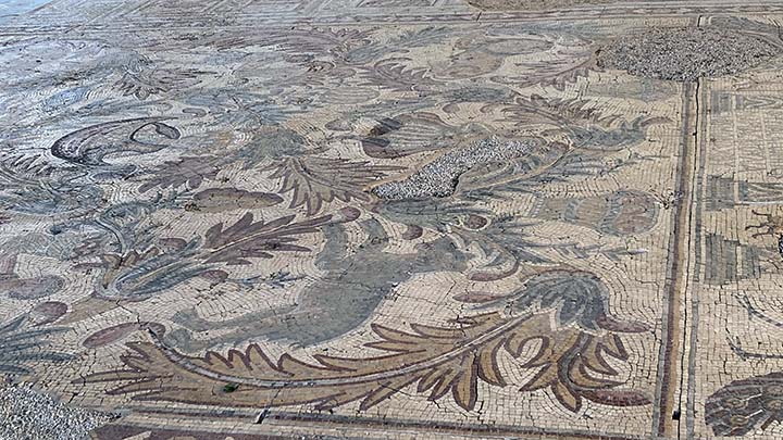
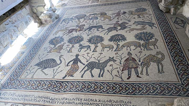
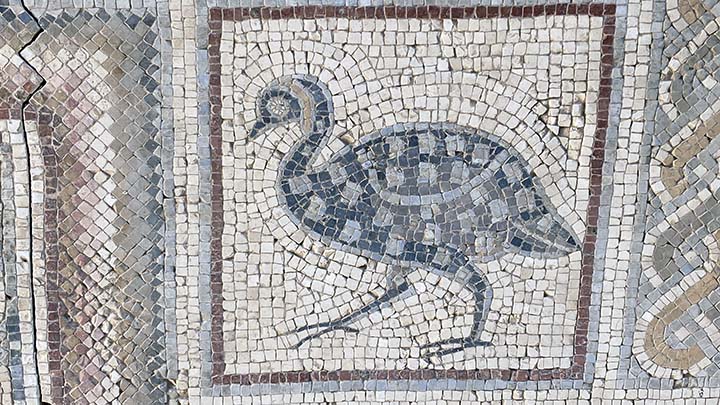
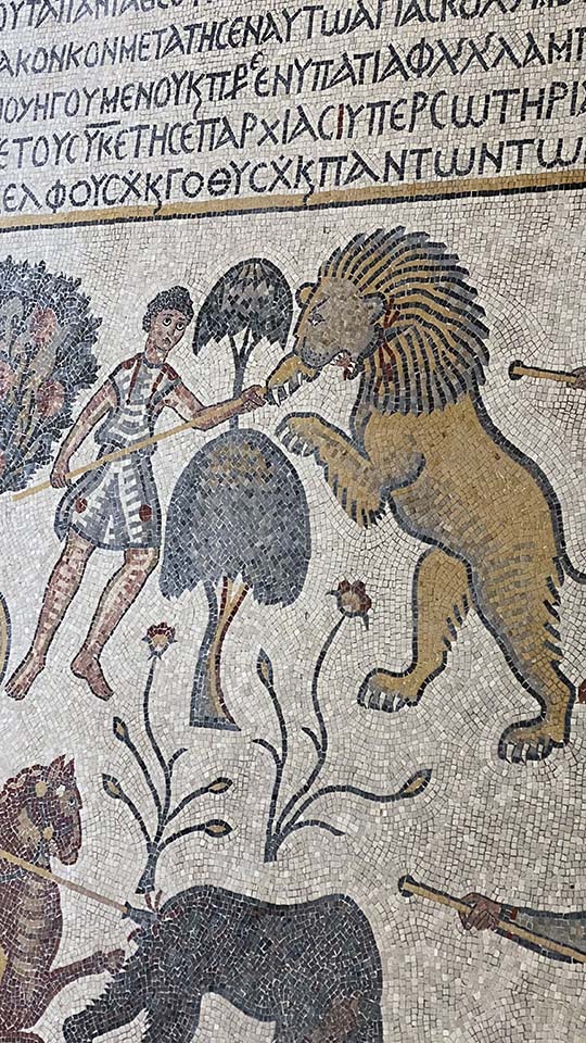
It houses some of the best (and best presented) mosaics in Jordan, dating from around 530. The masterpiece is a hunting and herding scene interspersed with an assortment of African fauna, including a zebu (humped ox), lions, tigers, bears, boars, zebras, an ostrich on a leash and a camel-shaped giraffe.
The masterpiece is a hunting and herding scene interspersed with an assortment of African fauna, including a zebu (humped ox), lions, tigers, bears, boars, zebras, an ostrich on a leash and a camel-shaped giraffe.
It's a chicken. No? OK, you decide.
There's certainly lots going on here.
It's a giraffe created by a mosaic artist who was much more familiar with camels.
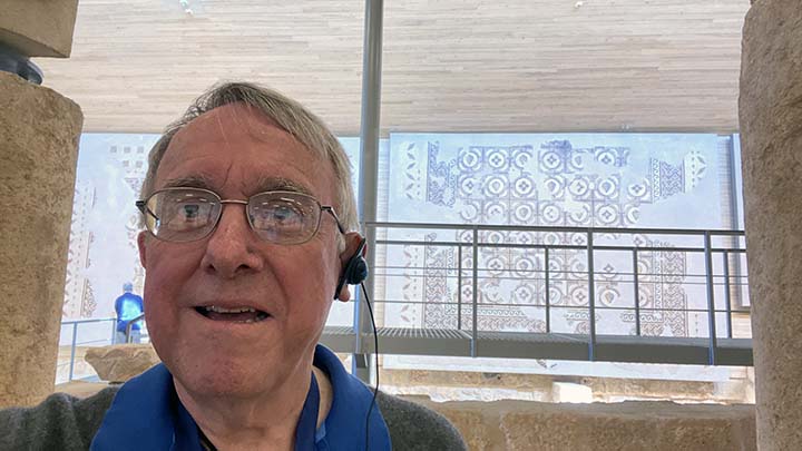
As usual, the tourist is having a hard time hiding his amazement. But wait'll you see the view outside. Oh, you’re wondering what that thing in his ear is? It’s a “whisper.” He’s got a little receiver hanging around his neck and he can use the whisper to listen to the guide.
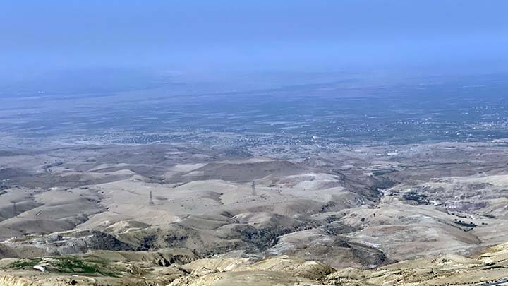
I mean, just look at this view from up here on Mt. Nebo. You can see Jericho easily, and on a clear day you can even see Jerusalem from here. The plains of Moab we passed by a little while ago? There they are. I’ll bet you can see from Dan to Beersheba...
Bill is a little slow sometimes, but eventually standing up there on Mt. Nebo it soaked in. Somebody else enjoyed this view too, quite a while back. Here, read about it in Deuteronomy: Then Moses climbed Mount Nebo from the plains of Moab to the top of Pisgah, across from Jericho. There the Lord showed him the whole land—from Gilead to Dan, all of Naphtali, the territory of Ephraim and Manasseh, all the land of Judah as far as the Mediterranean Sea, the Negev and the whole region from the Valley of Jericho, the City of Palms, as far as Zoar. Then the Lord said to him, “This is the land I promised on oath to Abraham, Isaac and Jacob when I said, ‘I will give it to your descendants.’ I have let you see it with your eyes, but you will not cross over into it.” And Moses the servant of the Lord died there in Moab, as the Lord had said. He buried him in Moab, in the valley opposite Beth Peor, but to this day no one knows where his grave is. Gives me the shivers to think I saw that view. But OK, let’s be honest. Scholars aren’t 100% sure this is the Mount Nebo referred to in the Bible. But I will say it definitely has the right view.
Ignore the doubters. This is Moses' view of the Promised Land.
From right there front of a little church.
I can’t get no satisfaction. Actually, this rolling stone is a fortified door for a monastery.
It ain't goin' nowhere.
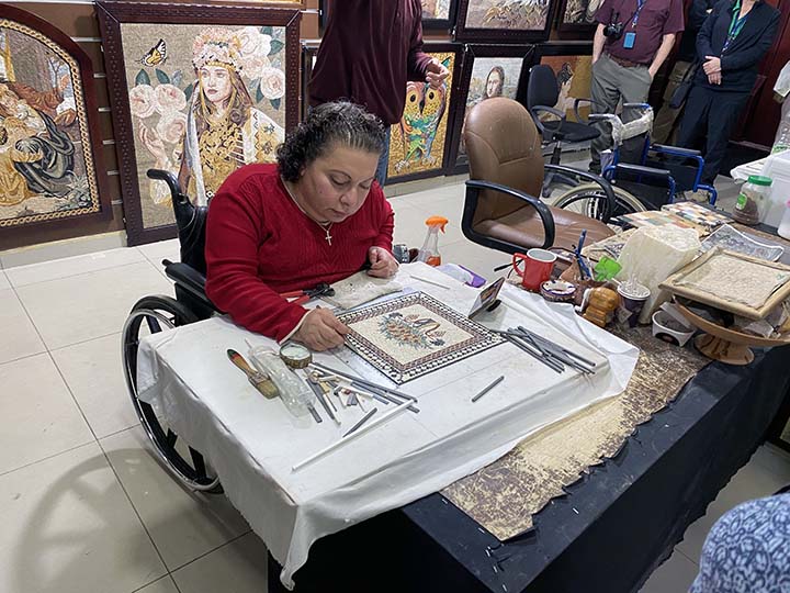
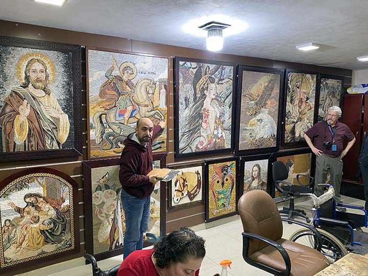
Usually a Road Scholar tour does not include stops at places where tourists can spend money. Today we made an exception.
They make mosaics here. And you can buy some if you want to. I didn’t want to.
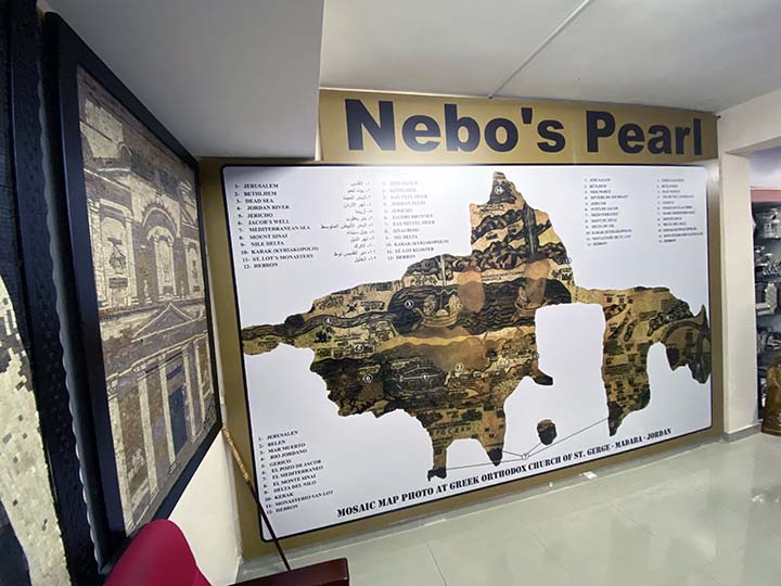
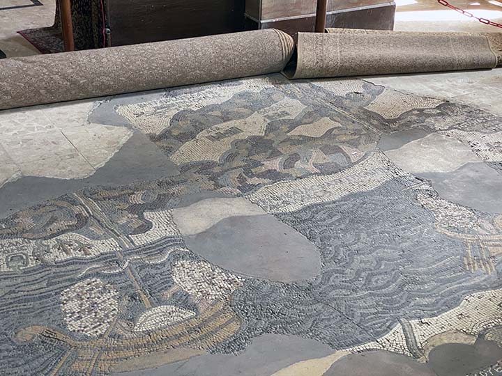
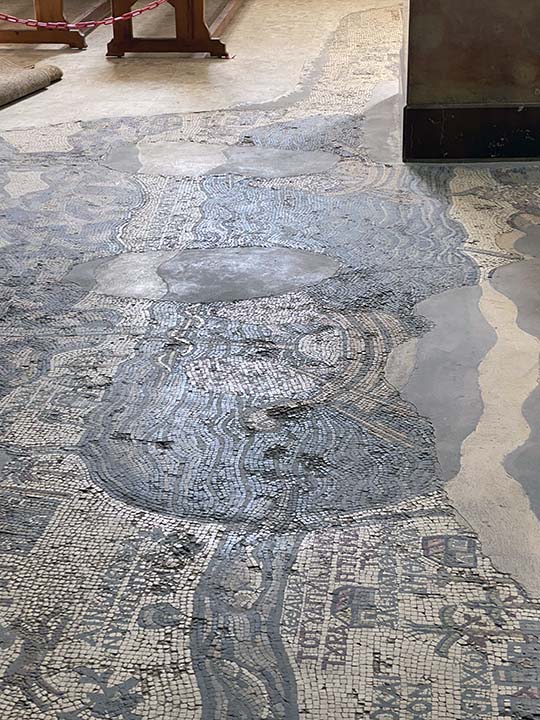
The "Nebo's Pearl" gift shop in Madaba did have one very interesting thing to see. That's a map of the Holy Land that's on the floor of a church we're about to visit.
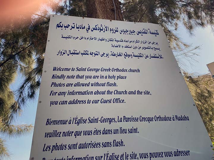
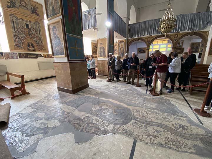
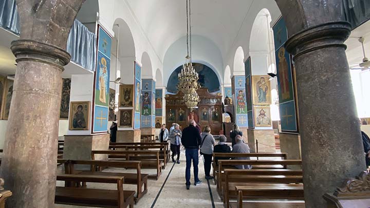
It's Saint George Greek Orthodox Church, and tourists just like us have been coming here for centuries.
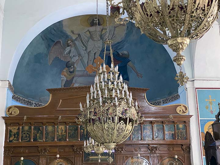
Much of it looks like any Greek Orthodox Church.
But that map on the floor is a wonder to behold.
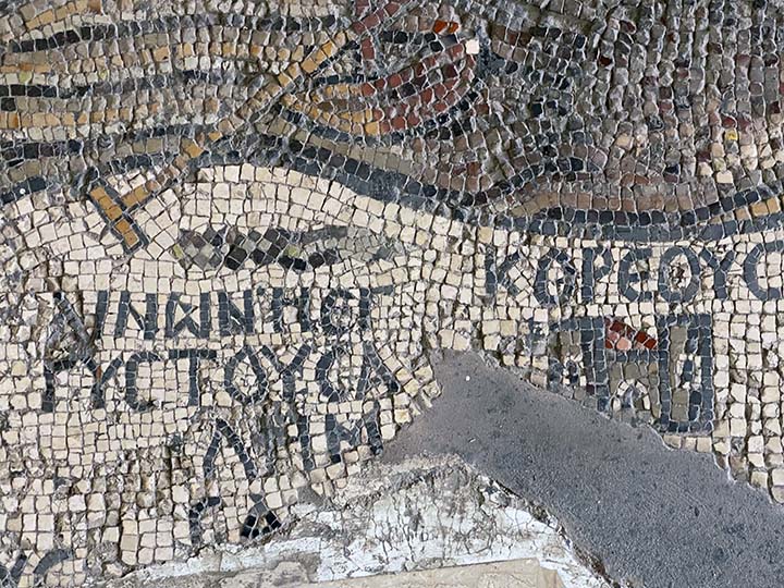
The Madaba Map, also known as the Madaba Mosaic Map, is part of a floor mosaic in the early Byzantine church of Saint George in Madaba, Jordan. The Madaba Map is of the Middle East, and part of it contains the oldest surviving original cartographic depiction of the Holy Land and especially Jerusalem. It dates to the 6th century AD.
The floor mosaic is located in the apse of the church of Saint George at Madaba. It is not oriented northwards, like modern maps, but faces east towards the altar in such a fashion that the position of places on the map coincides with the actual compass directions. Originally, it measured 21 by 7 m and contained over two million tesserae. Its current dimensions are 16 by 5 m.
The mosaic map depicts an area from Lebanon in the north to the Nile Delta in the south, and from the Mediterranean Sea in the west to the Eastern Desert. Among other features, it depicts the Dead Sea with two fishing boats, a variety of bridges linking the banks of the Jordan, fish swimming in the river and receding from the Dead Sea; a lion (rendered nearly unrecognizable by the insertion of random tesserae during a period of iconoclasm) hunting a gazelle in the Moab desert, palm-ringed Jericho, Bethlehem and other biblical-Christian sites.
The map may partially have served to facilitate pilgrims' orientation in the Holy Land. All landscape units are labeled with explanations in Greek. The mosaic's references to the tribes of Israel, toponymy, as well as its use of quotations of biblical passages, indicate that the artist who laid out the mosaic used as his primary source the Onomasticon of Eusebius (4th-century CE). A combination of folding perspective and aerial view depicts about 150 towns and villages, all of them labeled.
All in all it's a pretty amazing world treasure.
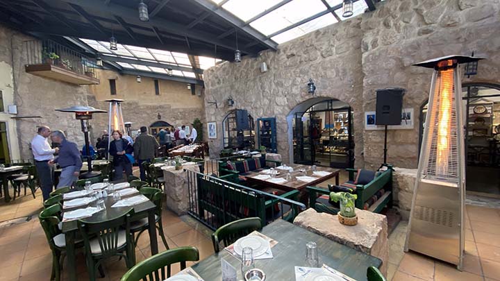
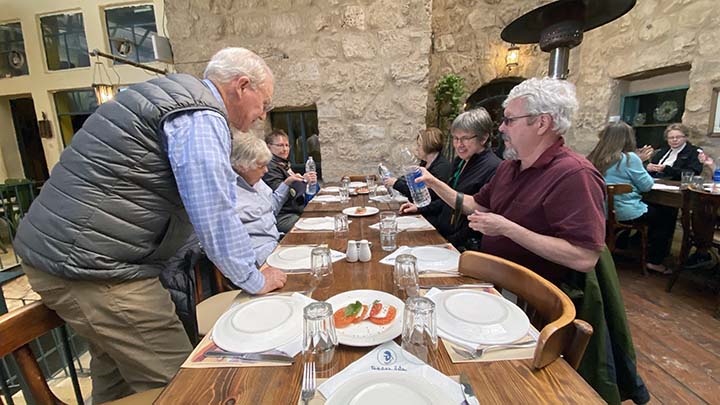
OK, now let's eat.
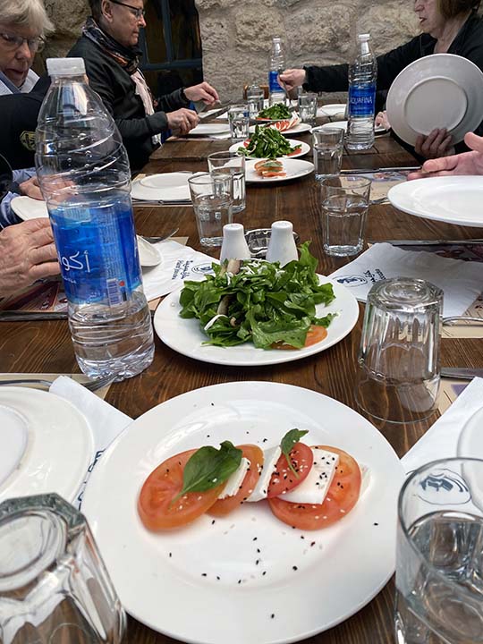
We are having lunch in a 400-year-old house.
And once again I ate too much. The food on this trip is incredible! I still haven’t learned to tell the difference between baba ghanouj and schwarma, but I do know they both taste good.
Caprese salad is one of my favorites.
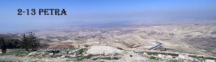
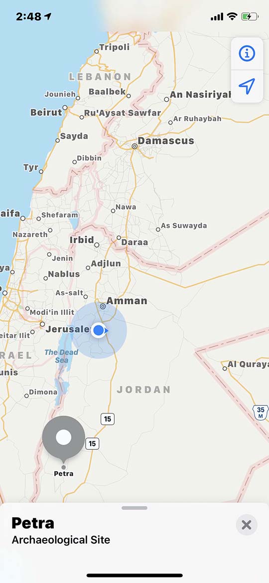
Now we've hit the road again. I made the screen capture from my iPhone while we were driving, just to show where we are. We are on our way to Petra.
Petra is a long way from everything, which, as we'll see, is part of the reason it has survived as well as it has.
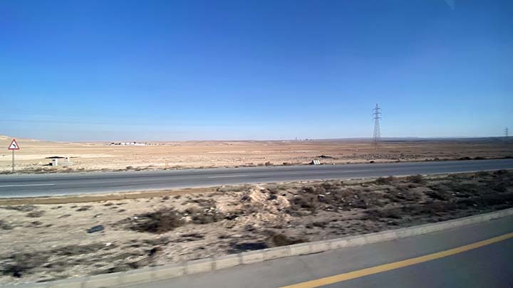
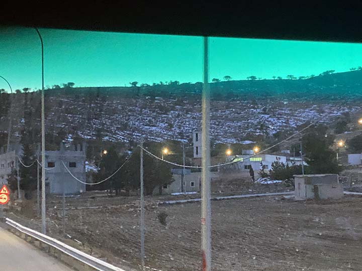
Nope, nothing to see here.
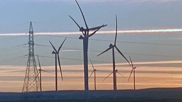
OK, windmills.
And snow on the ground.
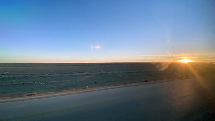
And a gorgeous sunset.
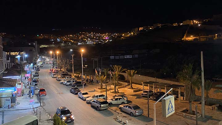
Now we are arriving in Petra
And this is the view from my hotel window.
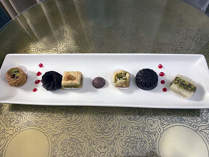
We have not gone hungry on this trip.
And when I'd finished dinner and returned to my room I found all this. They're trying to fatten us up for something, I'm sure of it.
|